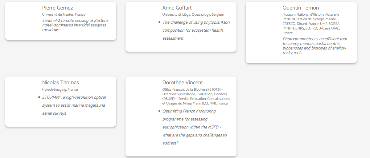
In a session hosted and organized by Julie Charmasson and Estérelle Vignemale from the Office Français de la Biodiversité (OFB), CoastObs, through our colleague Pierre Gernez from the University of Nantes, presented our work under the session "New technologies for marine environment monitoring and management policies".


The presentation is fruit of the recently published paper in the Remote Sensing of Environment journal, which proposes a method to map seagrass cover in exposed intertidal meadows. Since accurate habitat mapping methods are urgently required for the monitoring, conservation, and management of blue carbon ecosystems and their associated services, the recently published paper is of great relevance as the work carried out demonstrates that satellite remote sensing can be used to map seagrass percent cover and leaf biomass, and to further characterize its seasonal dynamics.
To access the full paper please visit:
https://www.sciencedirect.com/science/article/pii/S0034425720303904
If you want to check the presentation delivered at the SeaTech week, click on the image below:
]]>