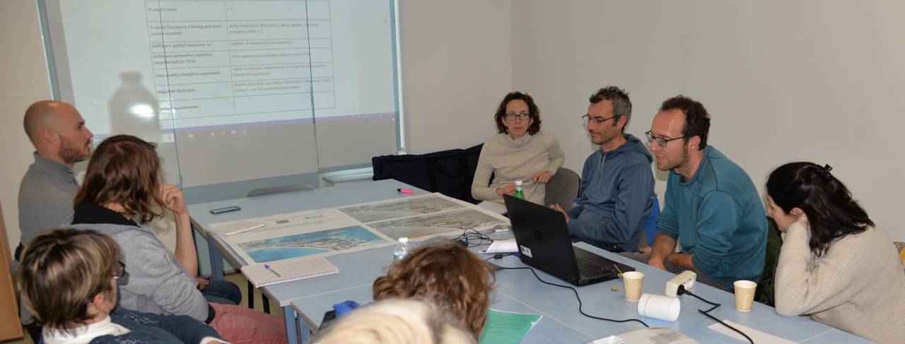


University of Nantes and Biolittoral have met end-users on the 19th and 21th of March to deliver WP3 intertidal seagrass products from CoastObs case-study in Bourgneuf Bay.
]]>


University of Nantes and Biolittoral have met end-users on the 19th and 21th of March to deliver WP3 intertidal seagrass products from CoastObs case-study in Bourgneuf Bay.
]]>


